ΕΣΠΑ
Skip to main content Cookie Consent Settings

Αγγλικός Στρατιωτικός Χάρτης της Ελλάδας

  • Image
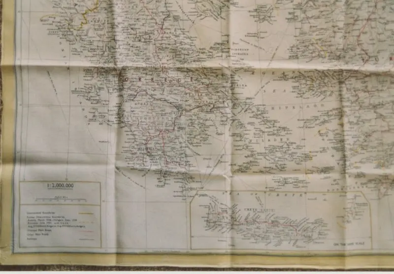
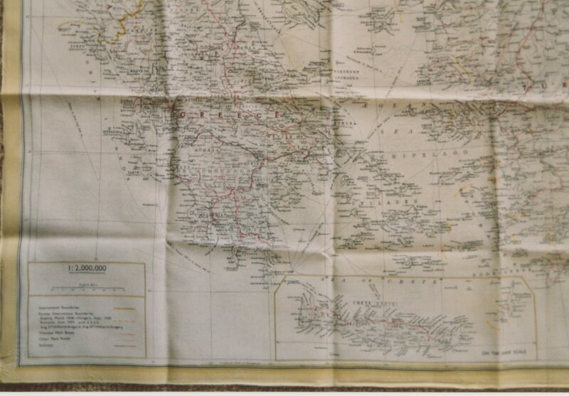
Φωτογραφία Στρατιωτικού Αγγλικού χάρτη Ελλάδας. Ο χάρτης χρησιμοποιήθηκε από μέλη της Βρετανικής Στρατιωτικής Αποστολής την περίοδο της Κατοχή
Τίτλος
Αγγλικός Στρατιωτικός Χάρτης της Ελλάδας
Θέμα
Β Παγκόσμιος Πόλεμος
Κατοχή
Τύπος
Φωτογραφία
Ημερομηνία δημιουργίας
World War II
Μορφότυπος
Υ: 10 εκ. Πλ: 15 εκ.
Αναγνωριστικό
ark:/12317/dr1ncjv0n
We use a selection of our own and third-party cookies on the pages of this website: Essential cookies, which are required in order to use the website; functional cookies, which provide better easy of use when using the website; performance cookies, which we use to generate aggregated data on website use and statistics; and marketing cookies, which are used to display relevant content and advertising. If you choose "ACCEPT ALL", you consent to the use of all cookies. You can accept and reject individual cookie types and revoke your consent for the future at any time at "Settings".